United States Maps Home > United States Map Collection > Central Kansas Map
Printable Map of Central Kansas
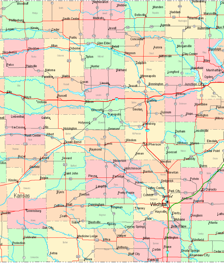
Above is a classic plan that displays the layout of this area with a simple selection of map elements.
You may store the map image and utilize it in your work. Linking back to this resource is always appreciated. Thank you.
If you wish for assistance obtaining a map, a distinct kind of map, or wish for a proper individualized map, please contact us.
Buy high quality tailor-made maps from us. A custom map made by us contain a huge assortment of map components, such as: main arteries, legend, coordinates, capes, lakes, towns, glaciers, or natural resources sites, etc. Types of custom maps range from highway to land use, folded to rolled, block groups to planning regions.
Proper maps are exact, all-encompassing, and not deceptive. Finest map production by YellowMaps.
To acquire physical maps, like backroad mapbooks, attractions maps, or hiking maps, do not hesitate to go to our online map shop We carry thousands and thousands map items.
If you know of an amazing map that you would like to let us know about, please share the news. We are interested!
Back to United States map collection