United States Maps Home > United States Map Collection > Eastern Kansas Map
Printable Map of Eastern Kansas
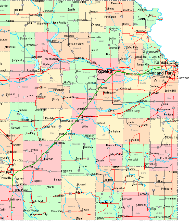
The above map image is a classic map displaying the political boundaries of this area with a classic medley of map components.
You can download this web page and use it for many purposes. Giving credit to this webpage is very much appreciated.
Supposing you desire assistance finding a map, a specific map, or desire a tip-top tailor-made cartographic design, you can contact us.
Buy great custom maps from us. Custom maps made by YellowMaps have a good array of details, for example: nodes of transportation, map projection, coordinate grid, channels, islands, valleys, hydraulic construction, or natural resources sites, etc. Map types range from urban to raised-relief, folded to rolled, block groups to state legislative districts.
Tip-Top maps are meticulous, elaborate, and not unclear. Distinguished map design by YellowMaps.
To purchase printed maps or charts, for instance road atlases, attractions maps, or maps for kayaking, just marvel at the cartographic delights in our online map store You can find tens of thousands map products.
Whatever map you need, just contact us - we usually respond right away, or within a few hours.
Back to United States map collection