United States Maps Home > United States Map Collection > Eastern Kentucky Map
Printable Map of Eastern Kentucky
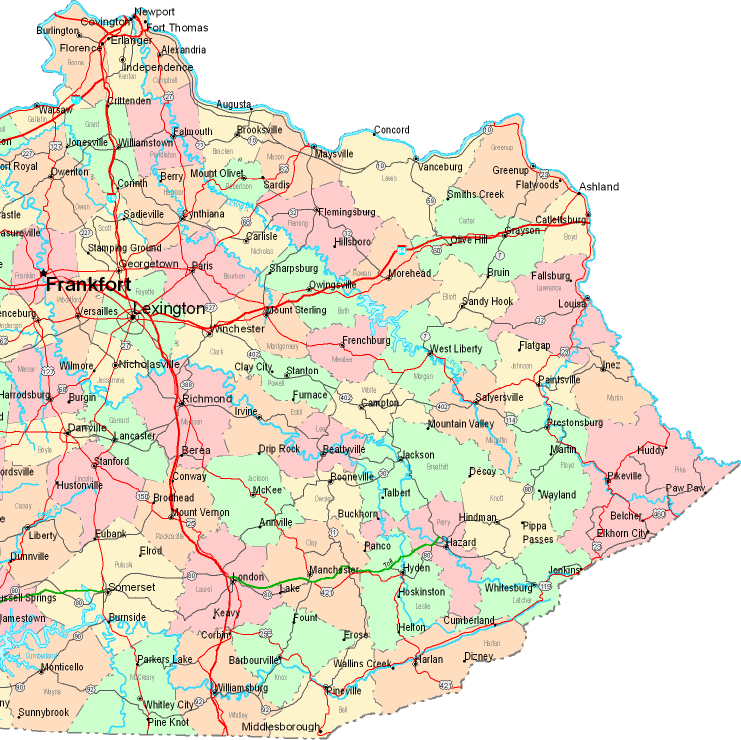
On top we have a simple layout indicating the geography of this territory with a classic group of details.
You have permission to share this web page and use it in your research. Giving credit to this source would be helpful.
If you want support obtaining a map, a particular map, or want a high quality custom-built cartographic design, please inquire for details.
Procure first-rate custom-built maps from us. A tailor-made product produced by us contain a wonderful diversity of map components, such as: streets, scale bar, coordinates, campsites, mountains, towns, craters, or recreational sites, etc. Map types vary from topo to tourist, digital to hardcopy, state or province to zip code.
High Quality maps are succinct, well-defined, and not misleading. Detail-Oriented cartography by YellowMaps.
To procure paper maps, such as navigational charts, country maps, or maps for canoeing, do not hesitate to explore YellowMaps Map Store You can find more than 100,000 map products.
Have trouble printing or downloading this map? Just contact us.
Back to United States map collection