United States Maps Home > United States Map Collection > Western Montana Map
Printable Map of Western Montana
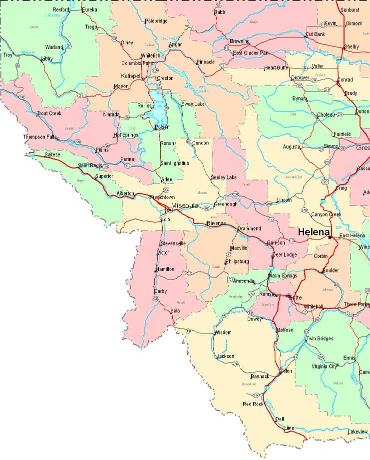
This image is a basic layout that shows the spatial relationships of this area of interest with a classic variety of details.
Of course, you may download the map image and take advantage of it in your projects. Giving credit to this source is always appreciated. Thank you kindly.
In case you are looking for assistance finding a map, a different kind of map, or are looking for a great tailor-made product, you can contact our map specialists.
Acquire suitable individualized maps from us. A custom map made by us cover a large combination of map elements, for example: routes, map projection, GPS coordinates, bays, miscellaneous features, shoals, district municipalities, or natural resources sites, etc. Types of maps vary from human geography to tourist, navigation to general reference, states to consolidated cities.
Great maps are exact, all-encompassing, and not old. First-Rate cartography by YellowMaps.
To procure paper maps, for example recreation atlases, educational maps, or hiking maps, you can go to our map shop We have a collection of thousands and thousands map products.
If you know of an amazing map that you would like to let us know about, please share the news. We are interested!
Back to United States map collection