United States Maps Home > United States Map Collection > Eastern Oklahoma Map
Printable Map of Eastern Oklahoma
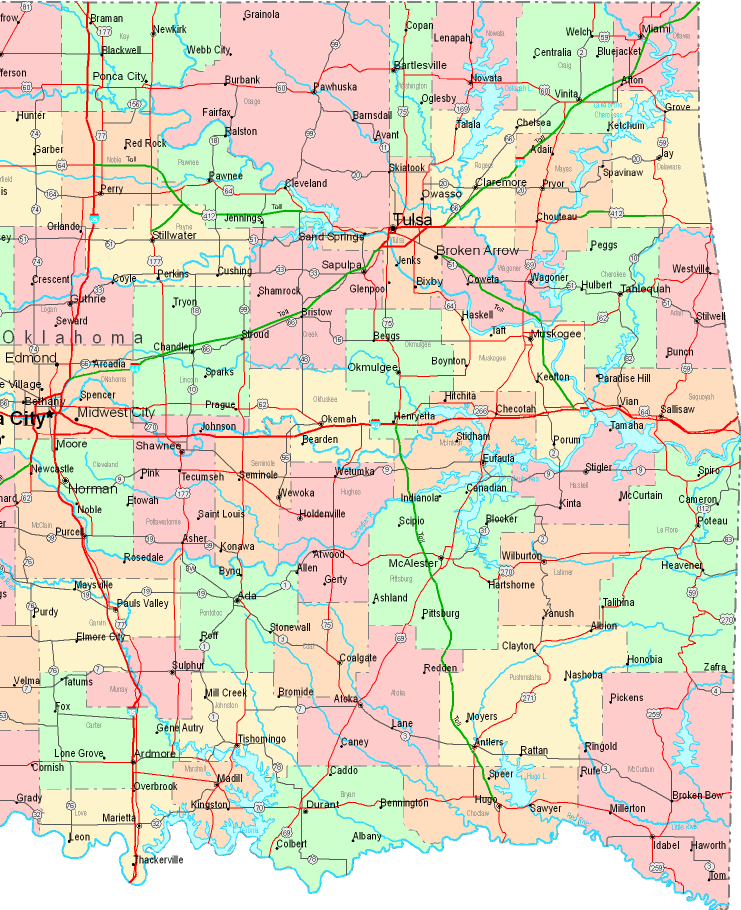
On top we have a simple representation exposing the political boundaries of this locality with a plain group of features.
You can download this map and use it in your work. Providing a link to here would be our request.
If you need assistance getting a map, a special kind of map, or need a good custom-built preparation, simply contact us.
Procure good customized maps from us. A custom map made by us encompass a wonderful medley of elements, such as: streets, map projection, UTM coordinates, bays, islands, unincorporated areas, hamlets, or river features, etc. Types of maps run from topo to orthophoto, printed to electronic, states to estates.
Good maps are correct, clear-cut, and not old. Detail-Oriented map-making by YellowMaps.
To purchase hardcopy maps, for instance road atlases, folded maps, or topographic maps, please do not hesitate to dive into YellowMaps Map Store It contains more than 100,000 items.
We make and retail maps. And we love it.
Back to United States map collection